Wales Coast Path Photo Itineraries
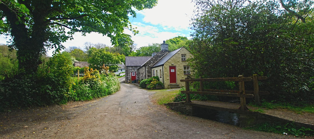
In April 2013 we began rebuilding the Photo Itineraries of North Pembrokeshire sections of the Wales Coast Path that first appeared on our previous web site in 2008 and 2009. Since then new pictures have been added to our extensive photo library. The Itineraries will reach from Cwm yr Eglwys (Newport Bay) to Newgale (St Brides Bay) for the time being. The images are intended as a series of 'postcards from the coast' - a less conventional portfolio, available for purchase as display prints, can be found on our sister site at Foster : Images; and a small cross-section of library images can be viewed on Flickr.
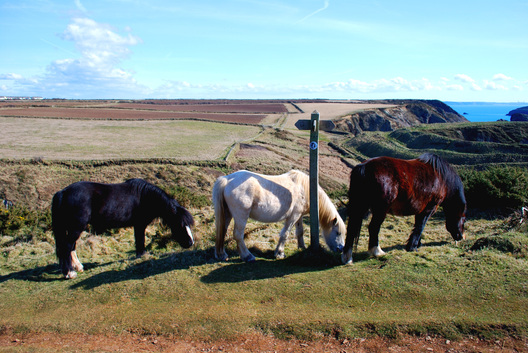
The Coast Path coverage is published as a resource for visitors to North Pembrokeshire, an aid to route planning for independent walkers (there are still a few of us who prefer to construct our own routes) and a celebration of the county that this writer has called home for more than thirty years. Most of the images were captured in the spring and autumn, when light conditions and the weather are often at their best. Other weather conditions are available!
The Itineraries are also intended as an example of how small businesses can develop local content and make their own contribution to the destination marketing effort. To this end we have included brief Production Notes on the free or low cost software and equipment used to develop this site.
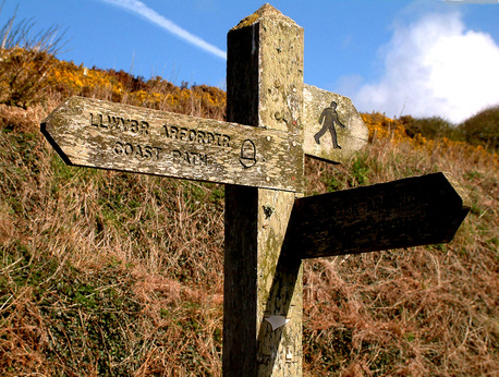
These pages are organised in manageable walking sections in line of march and the photographs are location specific rather than generic in nature. Approximate distances are given for each Itinerary section. To view location(s) on your computer, hover your cursor over the picture(s). To view location(s) on mobile devices, go to foot of page, change over to 'Web View' and tap a picture to reveal. Use the maps of individual sections to zoom in to landscape features. All of the locations can be cross-referenced with Ordnance Survey Landranger or Explorer sheets (see below). The aim is to provide an aid to itinerary planning. All of the images were captured on and from the Coast Path, apart from a couple of diversions inland. Over time we will be adding historical highpoints to individual pages but bear in mind that we are still (and will probably always be) in beta!
For more information on the extent of our Photo Library and formal licensing for online and offline publication, telephone 01348 831081.
In April 2013 we began rebuilding the Photo Itineraries of North Pembrokeshire sections of the Wales Coast Path that first appeared on our previous web site in 2008 and 2009. Since then new pictures have been added to our extensive photo library. The Itineraries will reach from Cwm yr Eglwys (Newport Bay) to Newgale (St Brides Bay) for the time being. The images are intended as a series of 'postcards from the coast' - a less conventional portfolio, available for purchase as display prints, can be found on our sister site at Foster : Images; and a small cross-section of library images can be viewed on Flickr.
The Coast Path coverage is published as a resource for visitors to North Pembrokeshire, an aid to route planning for independent walkers (there are still a few of us who prefer to construct our own routes) and a celebration of the county that this writer has called home for more than thirty years. Most of the images were captured in the spring and autumn, when light conditions and the weather are often at their best. Other weather conditions are available!
The Itineraries are also intended as an example of how small businesses can develop local content and make their own contribution to the destination marketing effort. To this end we have included brief Production Notes on the free or low cost software and equipment used to develop this site.
These pages are organised in manageable walking sections in line of march and the photographs are location specific rather than generic in nature. Approximate distances are given for each Itinerary section. To view location(s) on your computer, hover your cursor over the picture(s). To view location(s) on mobile devices, go to foot of page, change over to 'Web View' and tap a picture to reveal. Use the maps of individual sections to zoom in to landscape features. All of the locations can be cross-referenced with Ordnance Survey Landranger or Explorer sheets (see below). The aim is to provide an aid to itinerary planning. All of the images were captured on and from the Coast Path, apart from a couple of diversions inland. Over time we will be adding historical highpoints to individual pages but bear in mind that we are still (and will probably always be) in beta!
For more information on the extent of our Photo Library and formal licensing for online and offline publication, telephone 01348 831081.
Walkers' Bus Services
The Coast Path sections are serviced by the following Shuttles:
405 Poppit Rocket: Cardigan to Fishguard
404 Strumble Shuttle: Fishguard to St Davids
400 Puffin Shuttle: St Davids to Milford Haven
Summer and winter timetables and route maps can be downloaded from the Pembrokeshire County Council web site.
Pembrokeshire Coast Path — OS Maps and Publications
The images/links give direct access to the Hive Books web site, from which purchases can be made direct. Hive Books is UK based and pays UK tax in full. Additionally, Hive Books is committed to supporting independent bookshops by allocating a percentage of sales to nominated local booksellers.
All transactions are between the purchaser and Hive Books. Barrie Foster & Associates will not have access to the details of your transaction, nor to your personal or financial details.
Ordnance Survey Active Maps
OS Active Maps are tough and weatherproof, with a plastic coating that allows temporary route marking. Each Active Map includes a digital version of the paper map, which can be accessed through the OS smartphone app.
OS Active Maps are tough and weatherproof, with a plastic coating that allows temporary route marking. Each Active Map includes a digital version of the paper map, which can be accessed through the OS smartphone app.
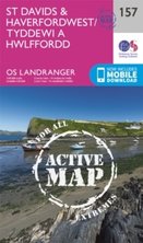
OS Landranger Series
Sheet 157 St Davids & Haverfordwest 1:50,000 - 1.25 ins to 1 mile |
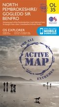
OS Explorer Series
Sheet OL35 North Pembrokeshire 1:25,000 - 2.5 ins to 1 mile |
OS Landranger Series
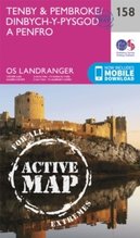
Sheet 158 Tenby & Pembroke 1:50,000 - 1.25 ins to 1 mile |
OS Explorer Series
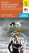
Sheet OL36 South Pembrokeshire 1:25,000 - 2.5 ins to 1 mile |
Coast Path Guides
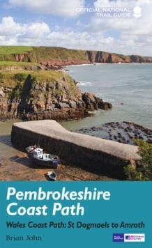
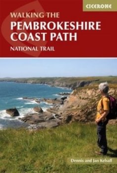
Two popular Coast Path Guides, the first by local author and geographer Brian John.
Brian John
|
Dennis & Jan Kensall
|
And for the cyclists ...
The area covered by our Coast Path Itineraries is well served by the National Cycle Network and has become extremely popular with cyclists over the past few years. It is possible to stay close to most of the coastline by bike, but exercise care for yourself and consideration for others: these are cycle routes not cycle paths. Pembrokeshire is a working county and its lanes and byways are used by farm traffic, locals, buses, coaches and car-bound visitors on waymarked tours. Visibility is often limited, especially when hedgerows are in growth and overarching trees come into leaf. Travel in single file unless the road ahead and behind is open to view and clear. Be alert: Pembrokeshire needs lerts!
The area covered by our Coast Path Itineraries is well served by the National Cycle Network and has become extremely popular with cyclists over the past few years. It is possible to stay close to most of the coastline by bike, but exercise care for yourself and consideration for others: these are cycle routes not cycle paths. Pembrokeshire is a working county and its lanes and byways are used by farm traffic, locals, buses, coaches and car-bound visitors on waymarked tours. Visibility is often limited, especially when hedgerows are in growth and overarching trees come into leaf. Travel in single file unless the road ahead and behind is open to view and clear. Be alert: Pembrokeshire needs lerts!
Click on the link for The National Cycle Network from Sustrans